NASA released this synthetic image made from a stereoscopic pair of terrain maps:
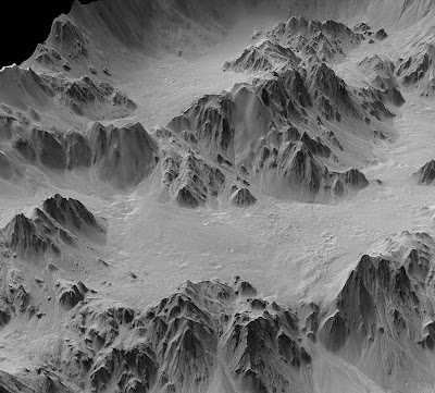
The perspective on the vertical axis has been "stretched" three-fold to show detail. Below is the "unstretched" version:
 Still, way cool, no?
The perspective on the vertical axis has been "stretched" three-fold to show detail. Below is the "unstretched" version:
 Still, way cool, no?


No comments:
Post a Comment